Interactive Maps
For equitable oral health outcomes to be possible, a data-driven, evidence-based ecosystem for oral health care policies and programs is essential. The OHNI contributes to this ecosystem by creating and disseminating an easy too access, oral health focused, outline Geographic Information System (GIS) based tool that allows users to turn complex data sets into maps and other easy-to-use visualizations. Maps provide a visualization of health disparities experienced by underserved communities and allow for a better understanding of ways to combat these disparities.
- Percent of Respondents Teeth Cleaned
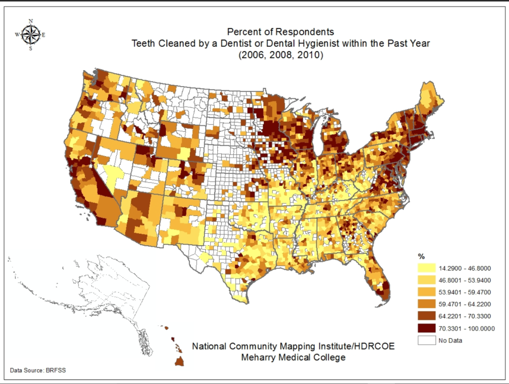 Percent of Respondents Teeth Cleaned by a Dentist or Dental …More >